Design Studio 4
Site Orders
Woodbury University ARCH 283 Spring 2019 Instructor: Ewan Branda
Natural and urban site orders are explored and analyzed using writing, photography, mapping and sectional studies to develop site planning and building design, with special emphasis given to the relationship between program and external context. Projects focus on influences of adjacency and environment, through the development of clear systems of movement, space, structure, energy efficiency and daylight.
Project 1
Program analysis and diagramming play an essential role in project development, therefore the work of contemporary architects will be researched to investigate how those prominent in the discipline have diagrammed their respective sites, in order to inform the program and form of their design. Using the information found, evaluation and a series of case studies will aid in analyzing relationships to contexts, organizational hierarchy, scales and patterns.


Project 2
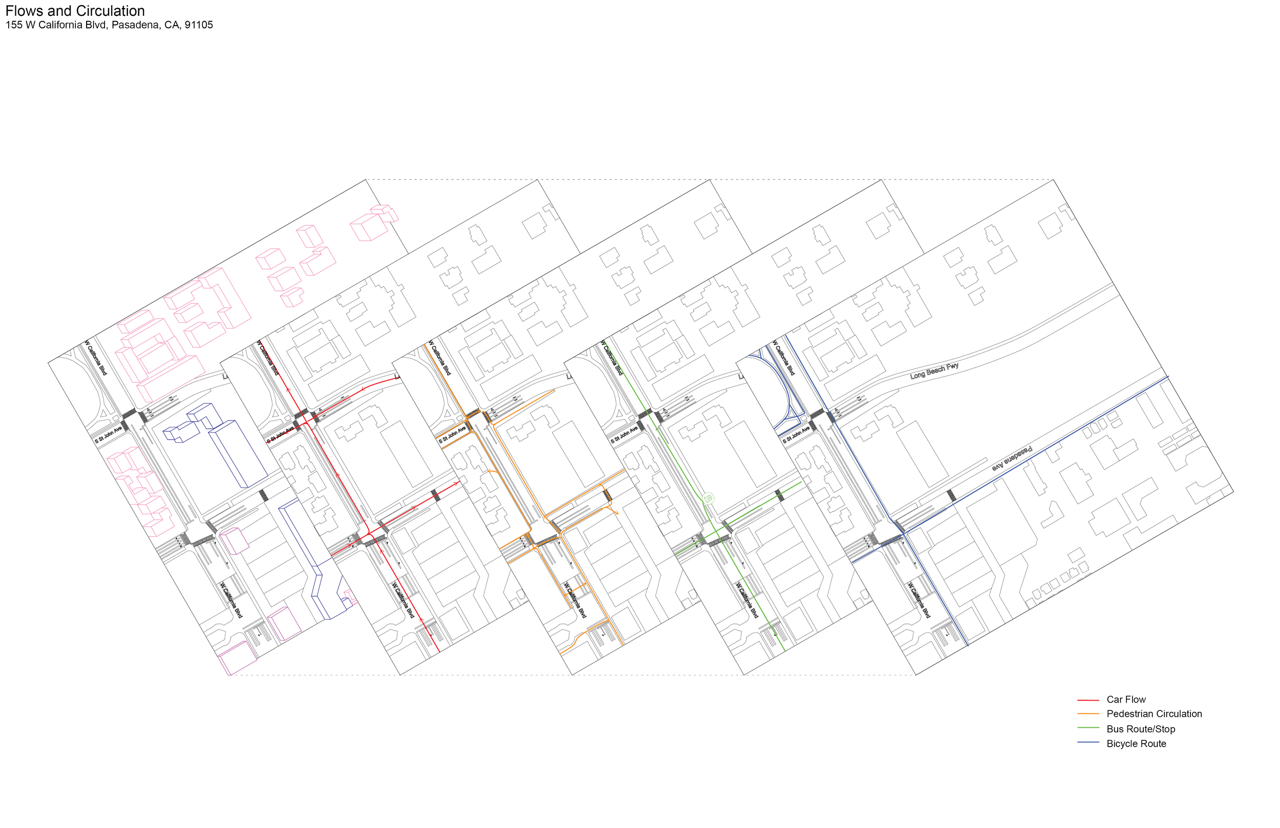
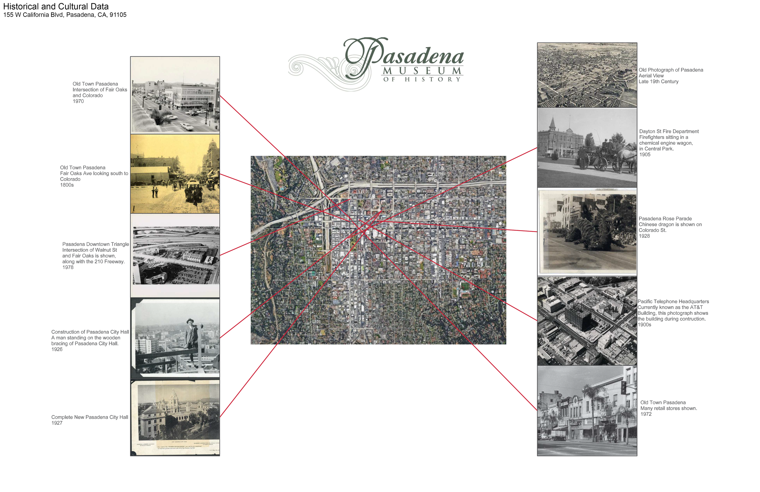
will assign a location along the 710 Freeway to ground a project and its site/context which will be observed, analytically documented, and characterized. In groups, a digital and physical site model along with diagrams, drawings, and photographs that document these features will also be completed. Lastly, a photo collage page will be created individually, which will represent one’s position with respect to the site: What interests you? What features will you build on going forward?


Project 3
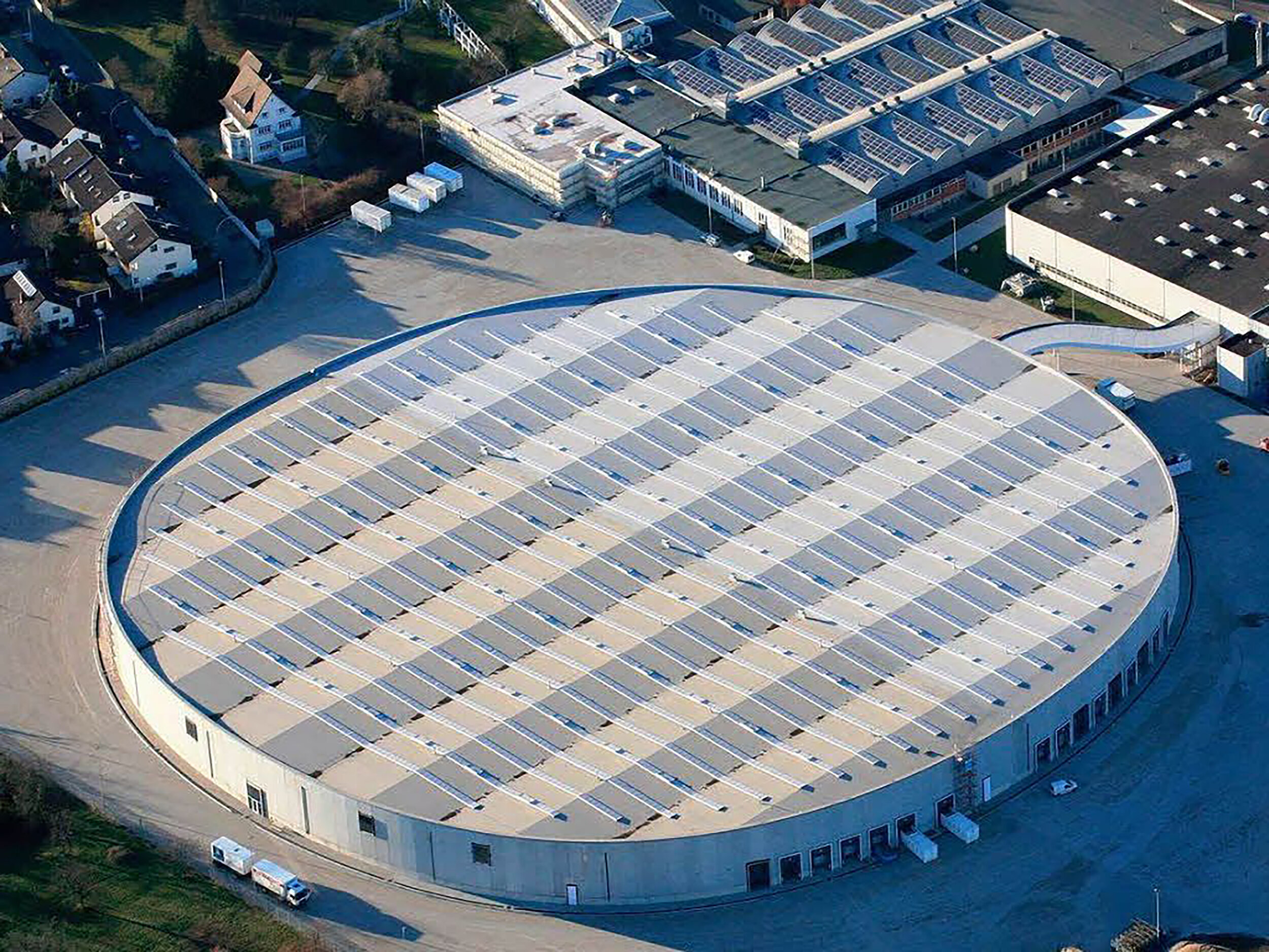
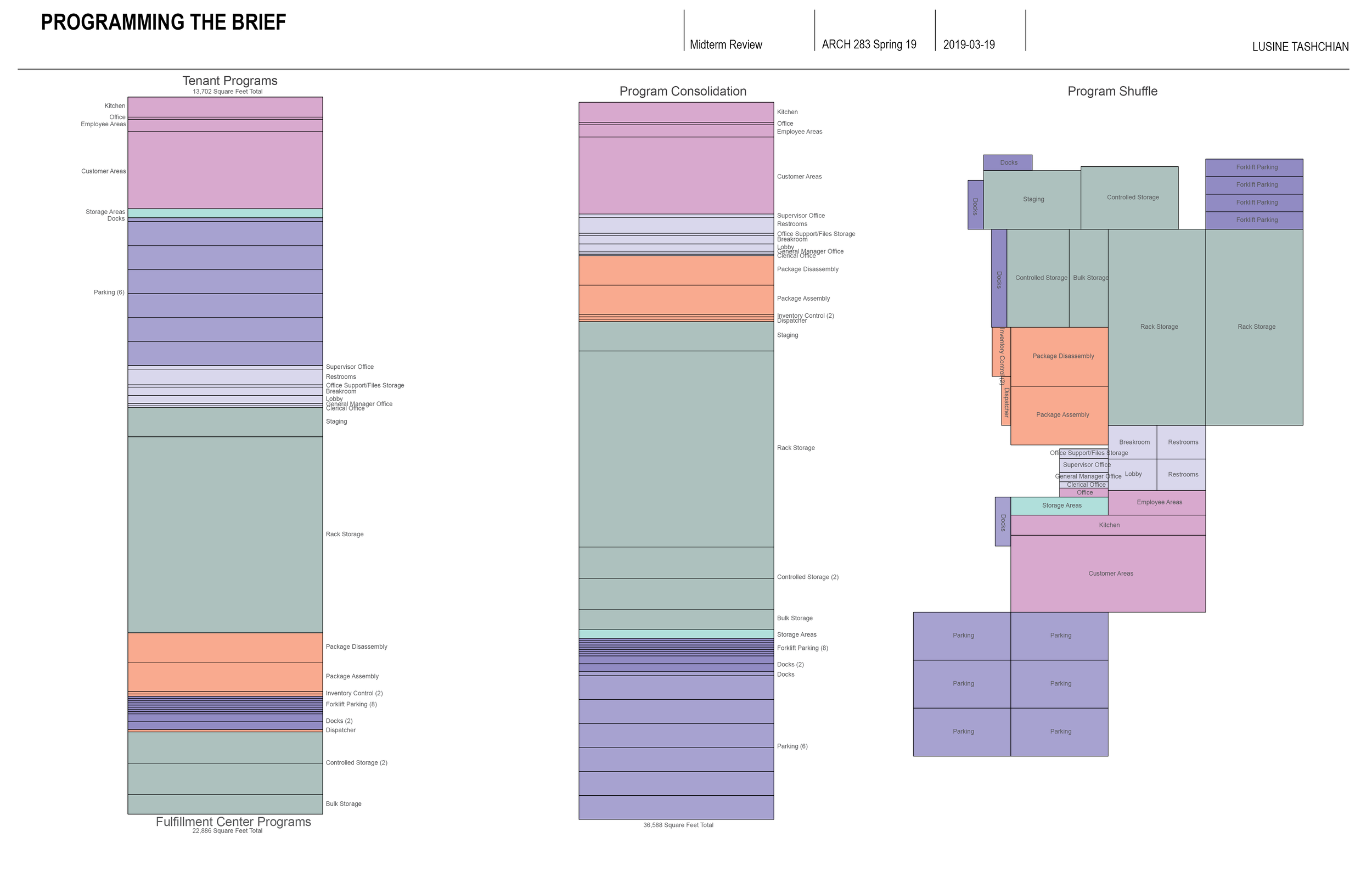
will include a small-scale neighborhood Fulfillment Center, as well as a customized program that forms the basis for massing studies in the exercise afterwards. First, uses, areas, and spatial requirements of the building will be diagrammed. Using the site research and perspective gained from the precedent studies of Project 1 and Project 2, a proposed tenant will be paired with the fulfillment center. This tenant, a Drive-in Diner, will play a key strategic role in allowing the fulfillment center to negotiate its place within its neighborhood and aid in creating three diagrammatic interpretations of the program using massing models and diagram drawings.


Project 4
will further develop the most successful massing model from Project 3. This scheme will: Identify critical components of the program and utilize an understanding of volume, area, and these related to the site. This will also show an understanding of site forces, constraints and opportunities, and suggest how a design will respond to each. After understanding relevant precedents for a design, development of circulation, flow of spaciousness, and functional/ experiential connections among building components, will envision a formal building concept as a response to program.
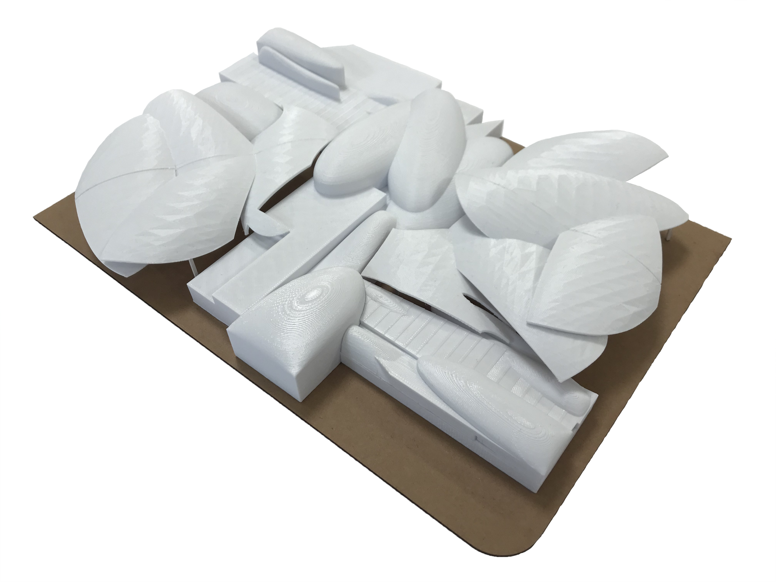
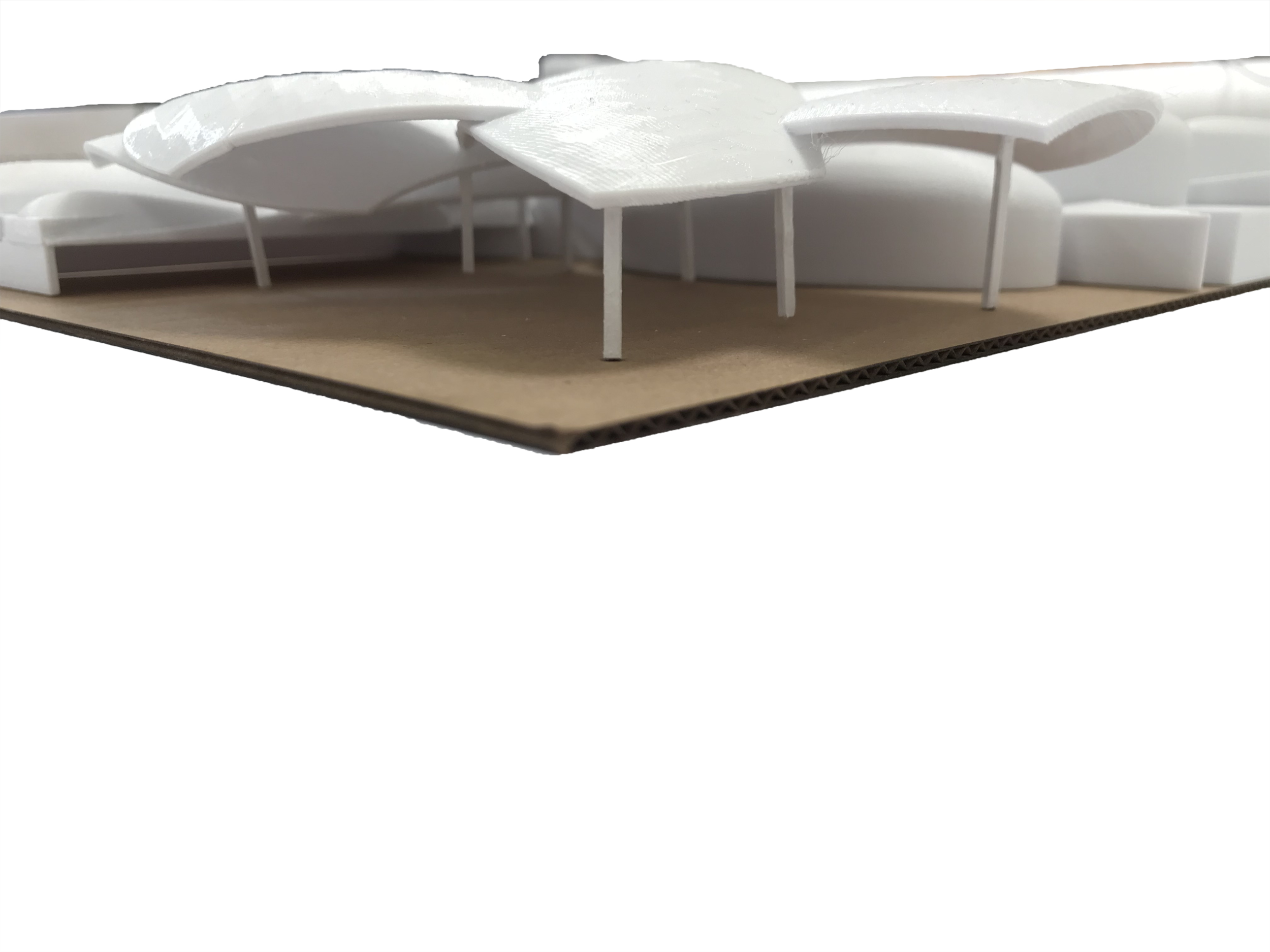
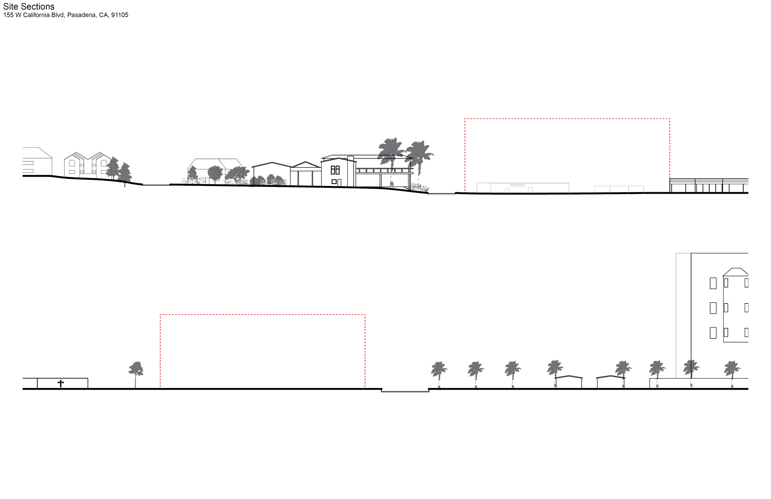
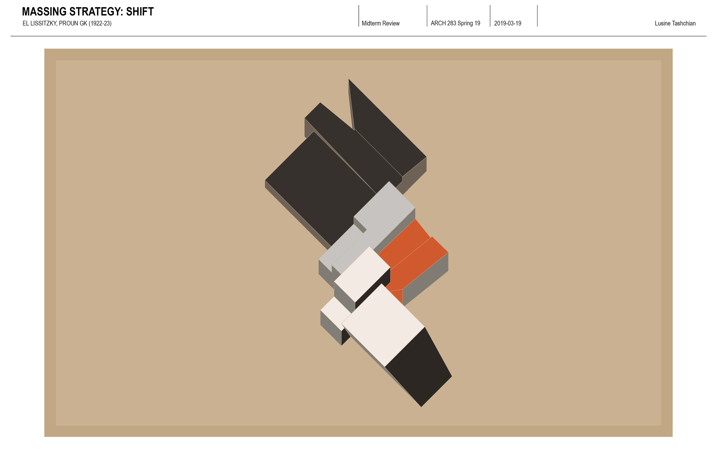
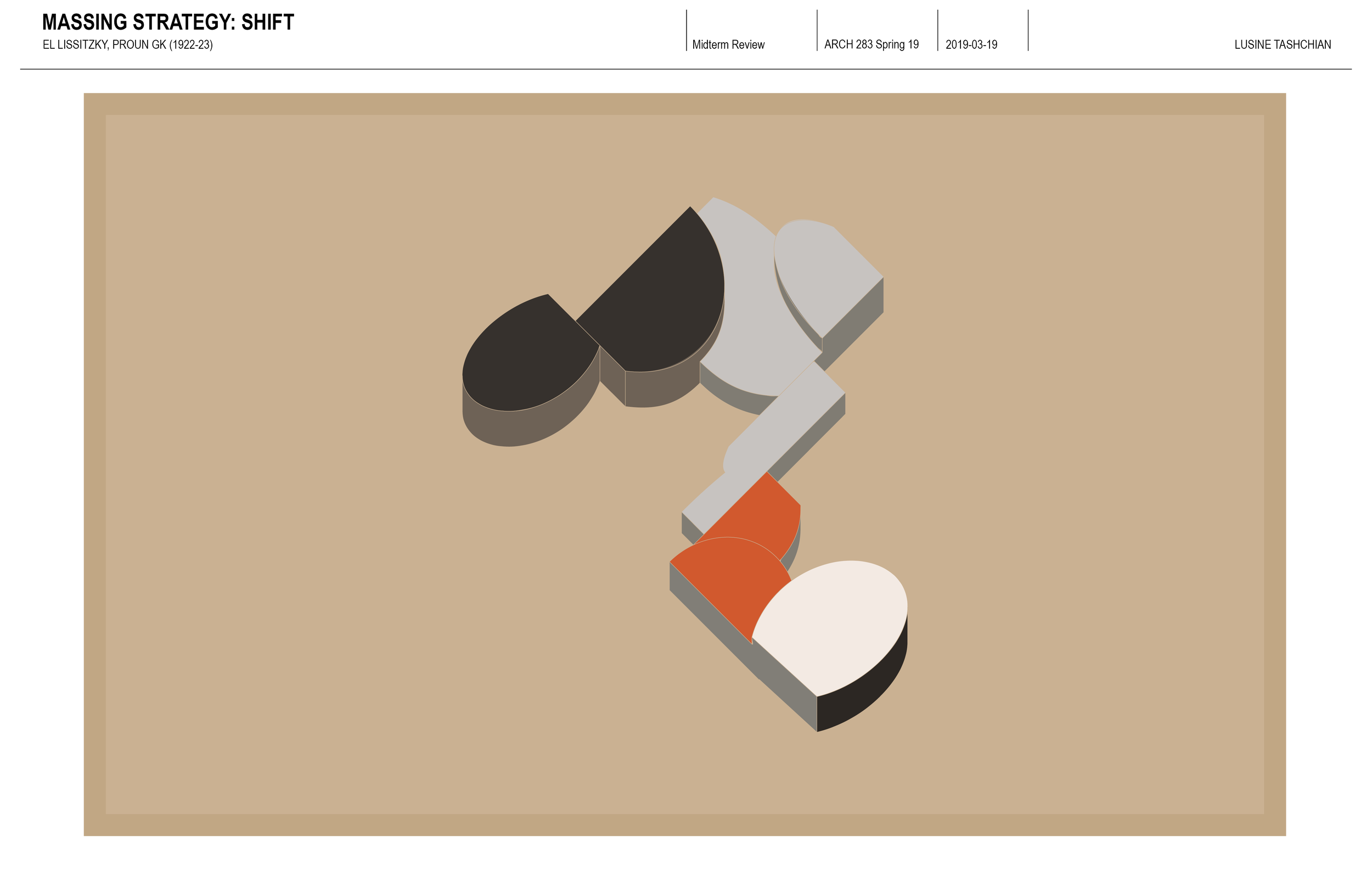
The third massing model from Project 3, which used an intersecting strategy, was chosen to be developed further in Project 4. The Fulfillment Center takes the Northern upper half of the building, while the Southern lower half is occupied by a Drive-in Diner tenant. By using a pinwheel shape that is roughly symmetric diagonally, the Fulfillment Center becomes closed-off, while the Drive-in Diner is open to the public.
During a visit to the site, a good deal of car traffic surrounded the area, but not much foot traffic. Also, seeing that an elementary school and hospital were nearby, this building would encourage people to stop by, enjoy the landscape and eat with loved ones, come from hospital waiting rooms and unwind, etc.

Inspired by El Lissitzky’s Proun GK, this axonometric drawing of Project 3’s massing model represents the different programs separated by color.
The collage designed in Project 2, influenced the canopies which cover and provide shade for the entrances of both the Fulfillment Center and Drive-in Diner. In the collage, secondary elements of the site were accentuated, such as adjacent buildings and shadows, thus treating the secondary landscape areas as architecture too.